


Lorem ipsum dolor sit amet, consectetur adipiscing elit. Etiam vel risus imperdiet, gravida justo eu.




$42,990.00 – $85,499.00Price range: $42,990.00 through $85,499.00
Versions:
In the box:
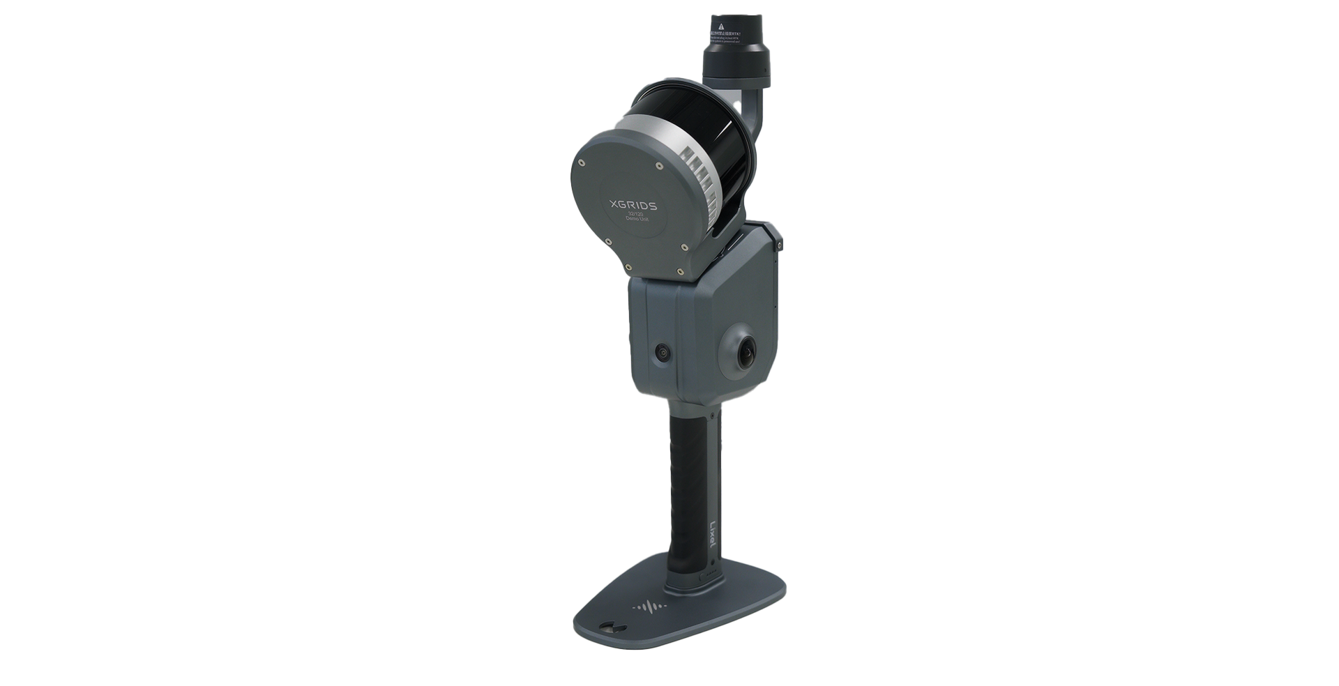
1 x XGRIDS Lixel L2 Pro Handheld 3D Scanner
1 x L2 Pro Battery
1 x GCP Collection Plate
1 x USB cable
1 x Battery charger
1 x Protective Cover
1 x Carrying case
Orders Over $500
For every purchased
When the job demands extended range, higher point density, and rock-solid accuracy across complex environments, the L2 PRO delivers. Its AI-enhanced processing and multi-sensor fusion maintain alignment and precision even in the most challenging conditions.
Pro-grade scanning for projects that demand more.
Real time Accuracy: 3 cm
Reliable, survey-grade data for engineering and mapping deliverables.
Up to 640,000 pts/s
Up to 32-channel configuration captures dense, detailed point clouds at speed.

Scan Range: 120 m to 300 m
Cover large areas efficiently — from open terrain to complex industrial sites.

Drone-Mountable
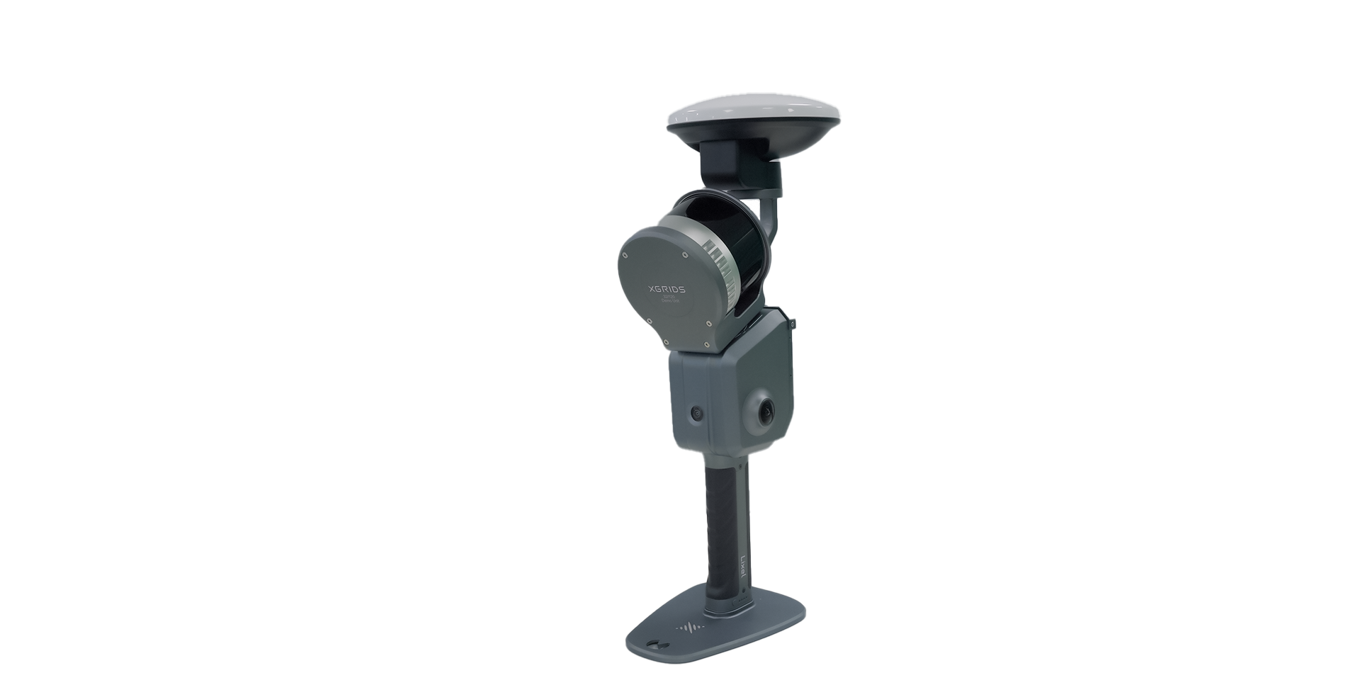
Attach to a UAV for aerial scanning and combine with ground data via Lixel CyberColor.

3D Gaussian Splatting
Generate photorealistic spatial models for immersive visualisation.

Real-Time Point Clouds
Preview colourised point clouds during capture for immediate quality checks.
Every scanning project comes with trade-offs — range vs. portability, aerial coverage vs. ground detail, speed vs. data quality. The L2 PRO was engineered to eliminate those compromises. Here are the challenges professionals face daily and how the Lixel L2 PRO solves each one.
Impact: Multiple scan setups, stitching errors, and wasted field time.
With L2 PRO: Scan up to 300 m in a single pass with the extended-range 32-channel model.
Impact: Fragmented datasets that are difficult to merge and interpret.
With the L2 PRO:Mount on a drone for aerial capture, then fuse with ground scans in Lixel CyberColor for a complete spatial model.
Impact: Noisy data, alignment drift, and unreliable deliverables.
With the L2 PRO: AI-enhanced SLAM, IMU integration, and environmental correction maintain data quality in the toughest conditions.
Powered by a reliable, 905 nm laser, the L2 PRO offers two precision modes — 1 mm and 5 mm — across the following configurations to match your project requirements:
Scan Speed: 320,000 pts/s | Range: 120 m
Scan Speed: 640,000 pts/s | Range: 120m
Scan Speed: 320,000 pts/s | Range: 300m
The Lixel L2 Pro is built for flexibility, allowing you to capture data your way. Easily switch between mounts and accessories to match the exact demands of your site.
Choosing the right scanning solution is a significant decision. Book a quick 15-minute Discovery Call to discuss your technical specs, budget, and delivery timelines with our Australian-based team.
 Optimized by Seraphinite Accelerator