


Lorem ipsum dolor sit amet, consectetur adipiscing elit. Etiam vel risus imperdiet, gravida justo eu.

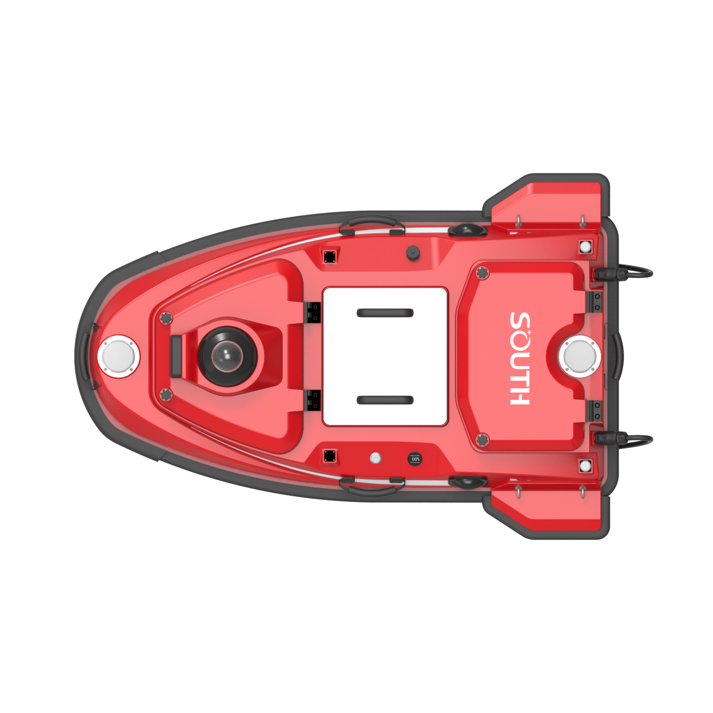
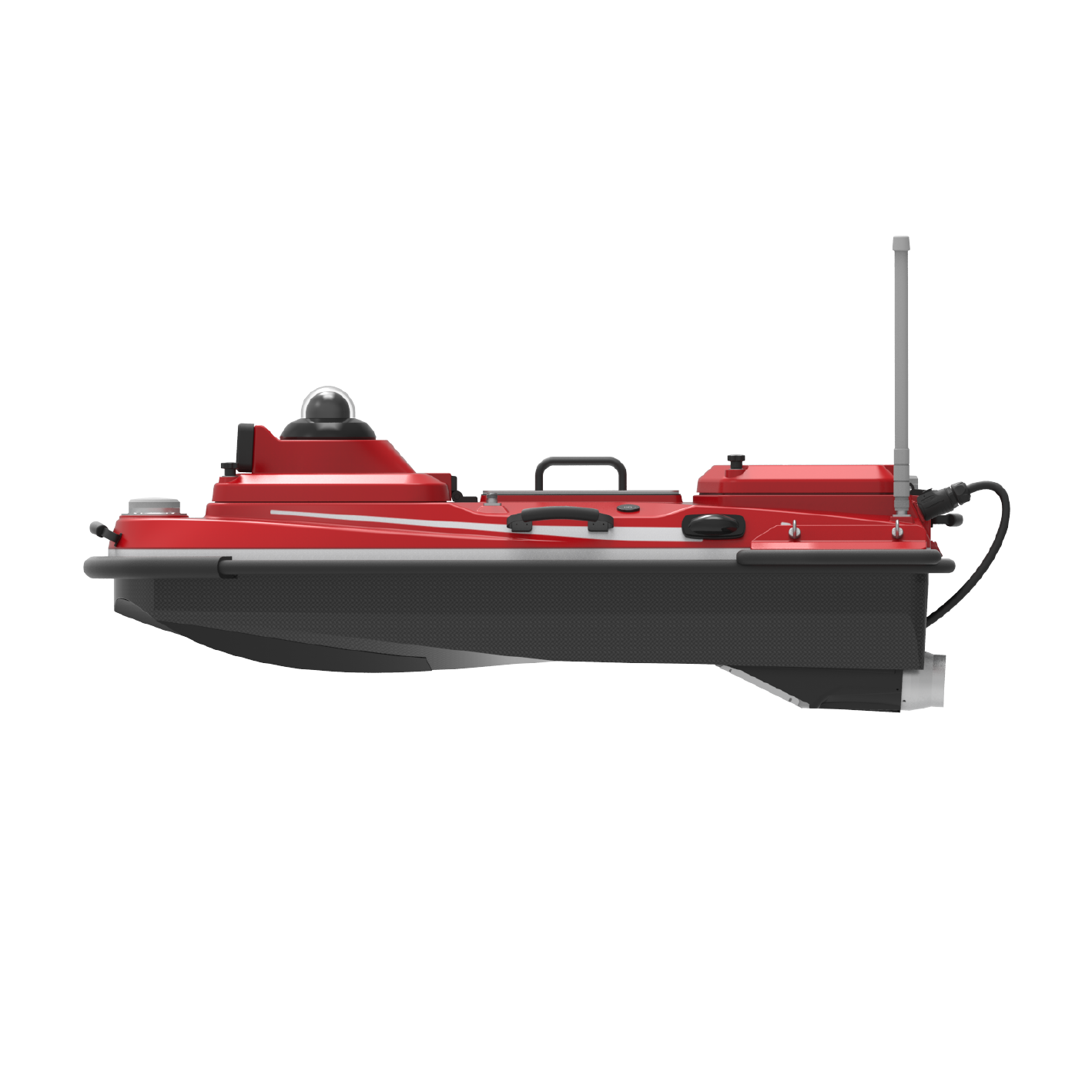
Heavy-Duty Performance: Designed for large-scale surveys in rivers, lakes, and coastal waters
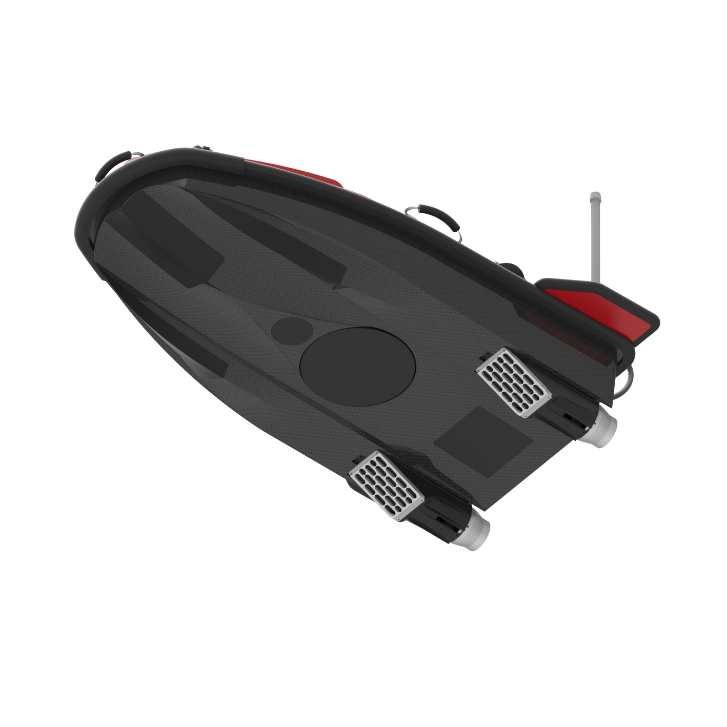
Enhanced Dual Moon Pool Design: Supports simultaneous deployment of multiple high-end instruments, including multi-beam echo sounders, ADCPs, and side-scan sonars
Industrial-Grade Dual GNSS System: Provides centimeter-level positioning and stable orientation
Advanced Obstacle Avoidance: Equipped with high-precision millimeter-wave radar and intelligent route planning
Full Autonomous Operation: Supports precise cross-section tracking, adaptive speed control, and return-to-base functions for low battery or signal loss
360° Real-Time Video Monitoring: Ensures complete situational awareness during missions
Rugged & Reliable Hull: Anti-sinking, anti-collision dual-layer construction for tough field conditions
Integrated Survey Software Suite: Includes powerful, professional-grade software for mission planning, navigation control, and data processing
Orders Over $500
For every purchased
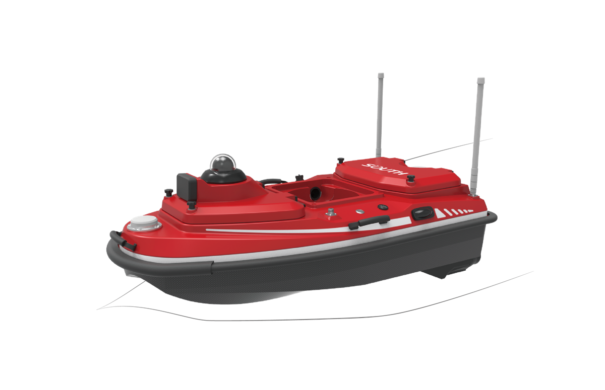
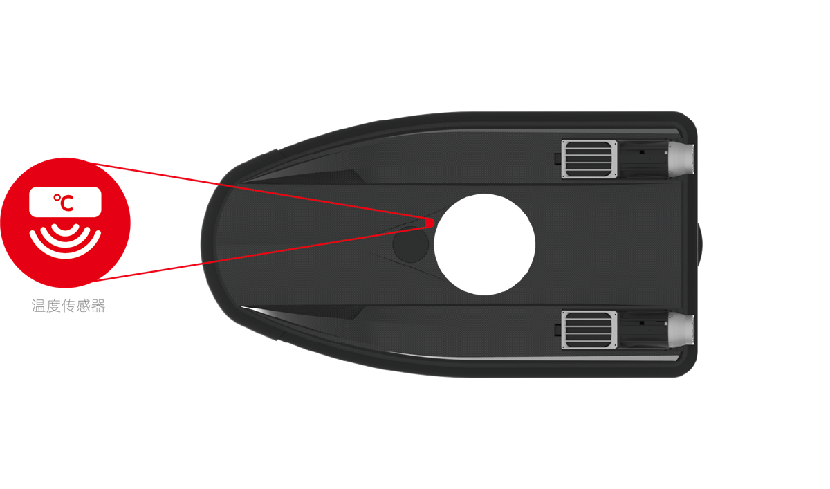
Intelligent Self-Diagnostics & Measurement Assistance
The M20 PRO is equipped with an advanced temperature and humidity sensing system that enables real-time health monitoring of critical onboard components. This intelligent self-checking function ensures safe and stable operation by detecting potential issues early. Temperature data is transmitted live to the software, allowing for automatic analysis and adjustment of sound velocity parameters—significantly enhancing the accuracy and reliability of depth measurements.
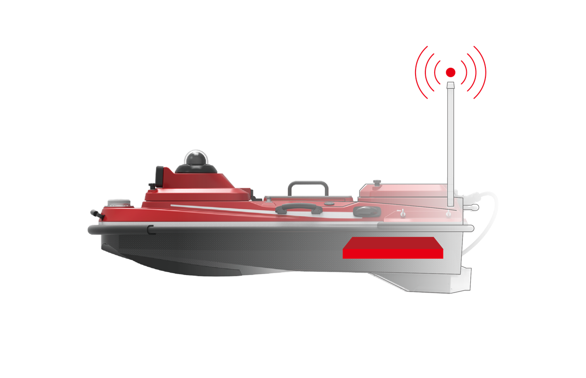
Enhanced Signal Strength & Reliable Transmission
The M20 PRO features a next-generation data link that significantly boosts communication bandwidth and signal integrity. Designed for challenging environments, it ensures stable, high-speed data transmission—even in complex or interference-prone survey conditions.
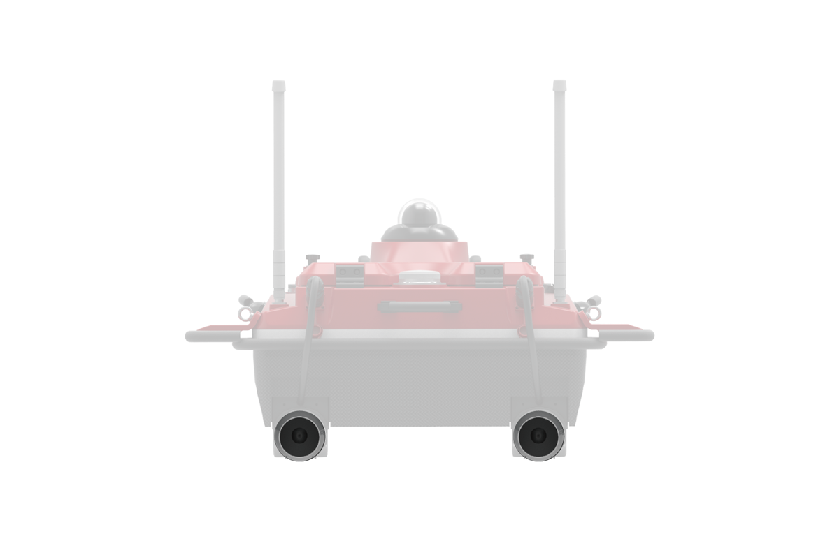
High Power, Greater Thrust, Extended Durability
The M20 PRO is equipped with a powerful propulsion system featuring single motors rated up to 1100W, enabling speeds of up to 7 m/s and resistance to water flow rates up to 3 m/s. A triple-layer waterproof design enhances motor longevity and reliability, ensuring consistent performance in demanding survey environments.
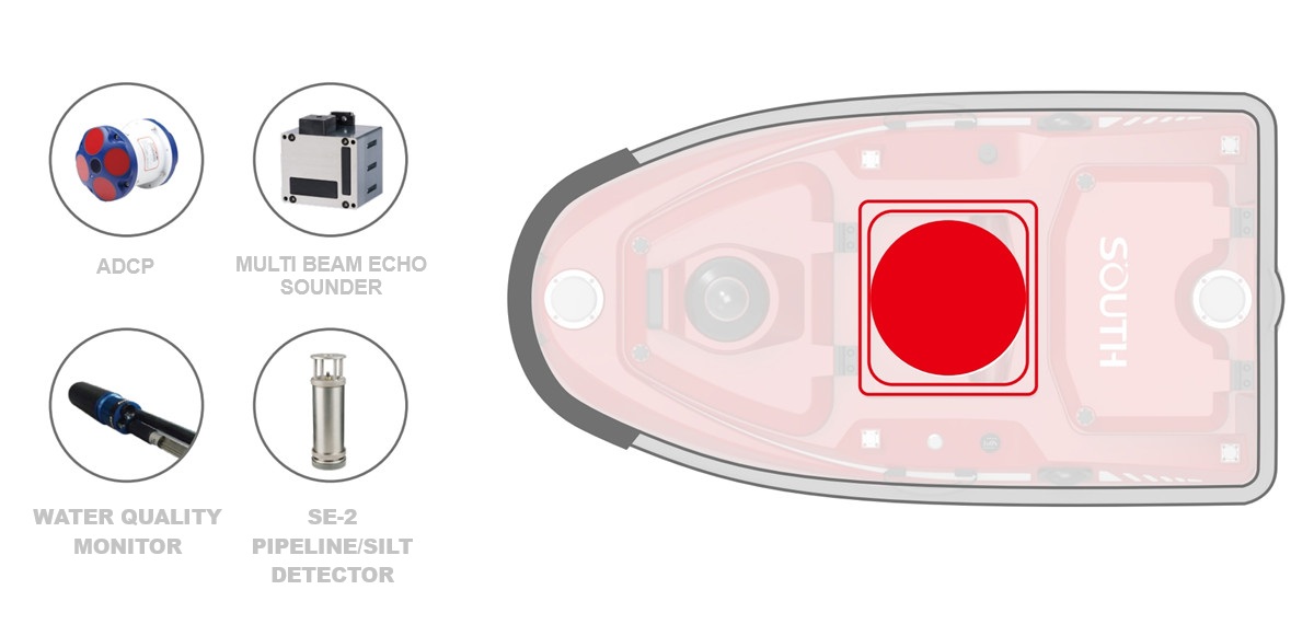
Greater Capacity, Broader Compatibility, Precision Fit
The M20 PRO features a redesigned, larger-capacity moon pool for increased adaptability and seamless integration of advanced survey instruments. It comes standard with a high-precision depth sounder and supports full compatibility with complete range of hydrological sensors, as well as most mainstream instruments on the market. The expanded design is ideal for accommodating complex equipment such as ADCPs, compact multi-beam echo sounders, and shallow layer profilers.
Index | Parameters |
Hull | |
Hull size | 1180mm*630mm*430mm(length*width*height) |
Hull material | Nano carbon fiber, Kevlar high strength composite materials |
Hull shape | M-type flow guide design |
Hull dead weight | 10.8kg |
Hull load | 42kg |
Waterproof and dustproof | IP67 |
Moon pool aperture | 24cm |
Wind and wave resistance level | Level 3 wind, level 2 wave |
Supported equipment | Built-in depth sounder, can carry mainstream ADCP/water quality monitoring, sampling equipment/shallow profiling/side scan/multi-beam at home and abroad |
Safety protection design | l Intelligent self-check l Equipped with detachable anti-collision strips and double-layer hull anti-sinking design l Digital power display on the hull, supporting temperature and humidity detection l Shallow water warning and automatic reverse driving l 360° HD infrared night vision camera l Dual indicator lights display the ship’s operating status and positioning signal status l Motor embedded duct installation design and equipped with waterproof grass cover l Millimeter-wave radar autonomous obstacle avoidance (obstacle avoidance distance 0.2~40m, pitch*azimuth 14°*112°, supports detection and tracking of up to 128 targets at the same time) l Detachable side wings to improve wind and wave resistance |
Power | |
Power mode | Electric drive |
Battery Specifications | 33V/50Ah high-performance ternary lithium battery, portable design, intelligent management, pluggable and replaceable, with power display |
Motor Type | High-efficiency ducted long-life brushless motor, three-level waterproof |
Steering method | No servo differential steering, can reverse |
Installation | Modular plug-in design, easy to disassemble and replace, waterproof |
Motor power | Single motor 1100W |
Maximum speed | 7m/s (adapt to maximum flow rate of 3m/s) |
Battery life | 6h@2m/s (single battery, optional extra-long battery life of more than 12h) |
Communication | |
SIM card | Supports eSIM and Nano card |
communication | 4G full network access, bridge, 2.4GHz radio |
Communication distance | Intelligent remote control 2.5 kilometers, 4G unlimited distance |
Main control design | Integrated main control design |
Data storage | Multi-channel storage, remote control, ship end, server can all store |
Main control waterproof | IP67 |
Remote Control | 13.2-inch industrial-grade sunlight-visible high-definition display, supports different storage spaces, can control the hull, collect data, view videos, and switch working modes |
Software | |
Control acquisition software | 1) Supports measurement mission planning, autonomous navigation, hull operation control, task progress statistics, and coordinate system input |
Data post-processing software | 1) Support data playback, waveform water depth data superposition, water depth data correction, tide data correction, data delay correction, attitude correction, coordinate parameter conversion |
Results data mapping software | Supports the compilation of engineering construction drawings, survey plan line mapping, water depth measurement data display points, water depth map compilation, isobath drawing, underwater 3D topographic map drawing, water depth frame compilation, channel section drawing and earthwork calculation, etc. |
Updates and Upgrades | Support online push of software and main control firmware |
Position | |
antenna | The hull has built-in high-precision positioning and directional GNSS dual antennas, supporting CORS and radio modes |
Radio Protocol | SOUTH,TRIMTALK450S,TRIMMARKI, TRANSEOT,HI-TARGET,CHC,SATEL |
Satellite system | Support BDS-3 global signal, BDS-2, GPS, GLONASS, Galileo, IRNSS, QZSS, SBAS support L-Band, support Beidou accuracy (single Beidou version is optional) |
Number of channels | 1598 |
Cold Start | <30s |
Lost lock and recapture | <1s |
RTK initialization time | <5s |
Speed measurement accuracy | 0.02m/s |
Standard single point accuracy | H ≤ 1.5m, V ≤ 2.5m |
PPP Beidou accuracy (optional) | Better than 10CM |
RTK accuracy | H: ±(8+10 -6 ×D)mm, D is the baseline length (unit: km) |
Directional accuracy | 0.15°@1m baseline |
Inertial navigation accuracy | 1) Support integrated navigation, support 1PPS |
Depth | |
Standard depth sounder | Working frequency 200kHz; beam angle 5° |
Choosing the right equipment is a significant decision. Book a quick 15-minute Discovery Call to discuss your technical specs, budget, and delivery timelines with our Australian-based team.