


Lorem ipsum dolor sit amet, consectetur adipiscing elit. Etiam vel risus imperdiet, gravida justo eu.


$18,990.00
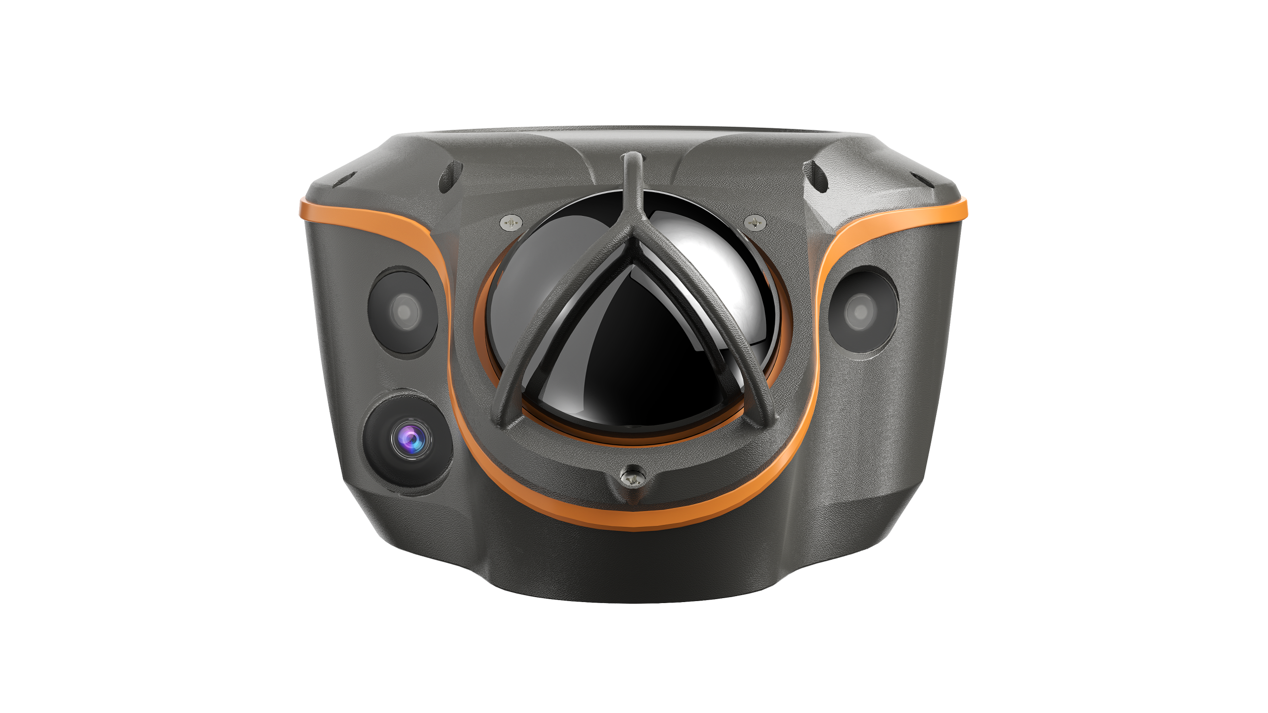
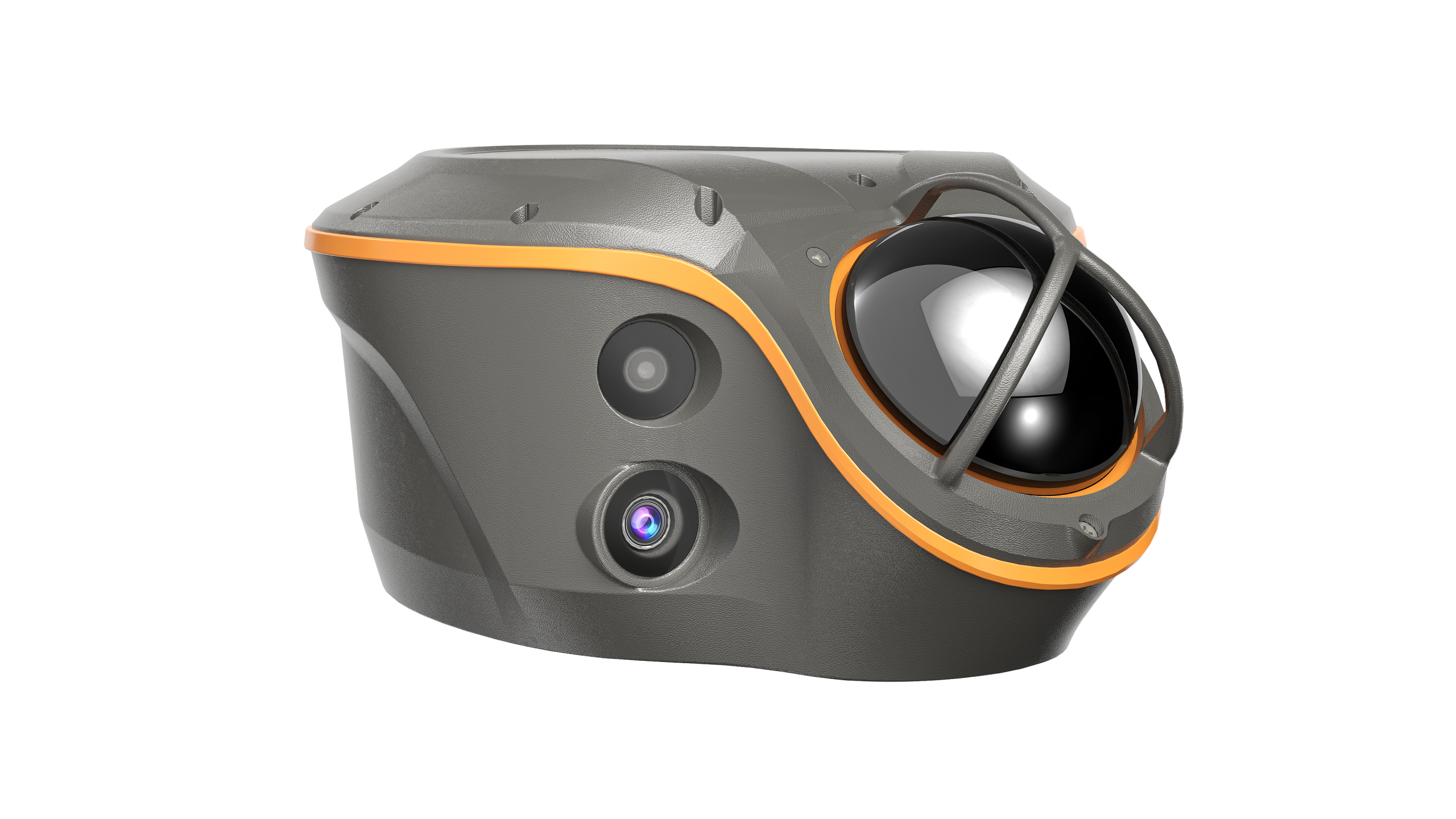
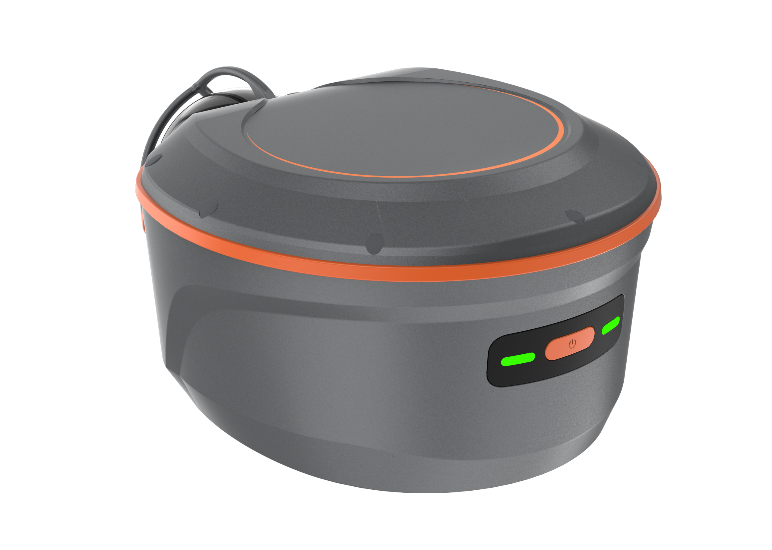
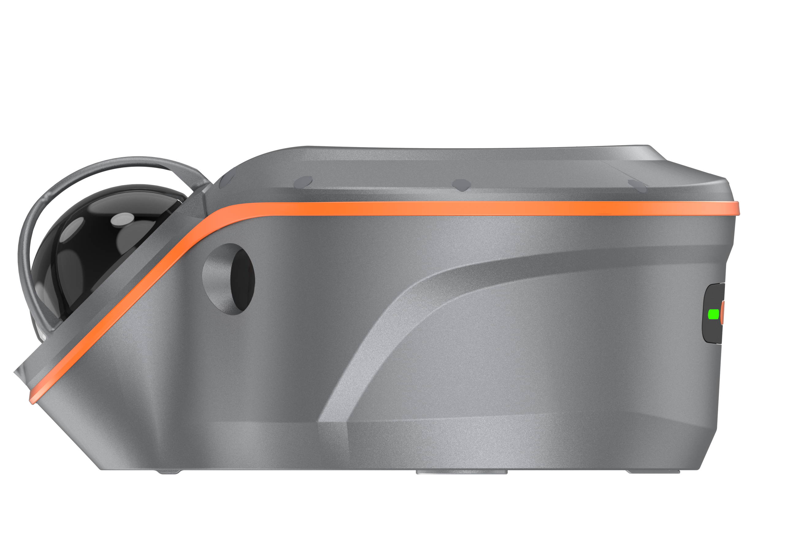
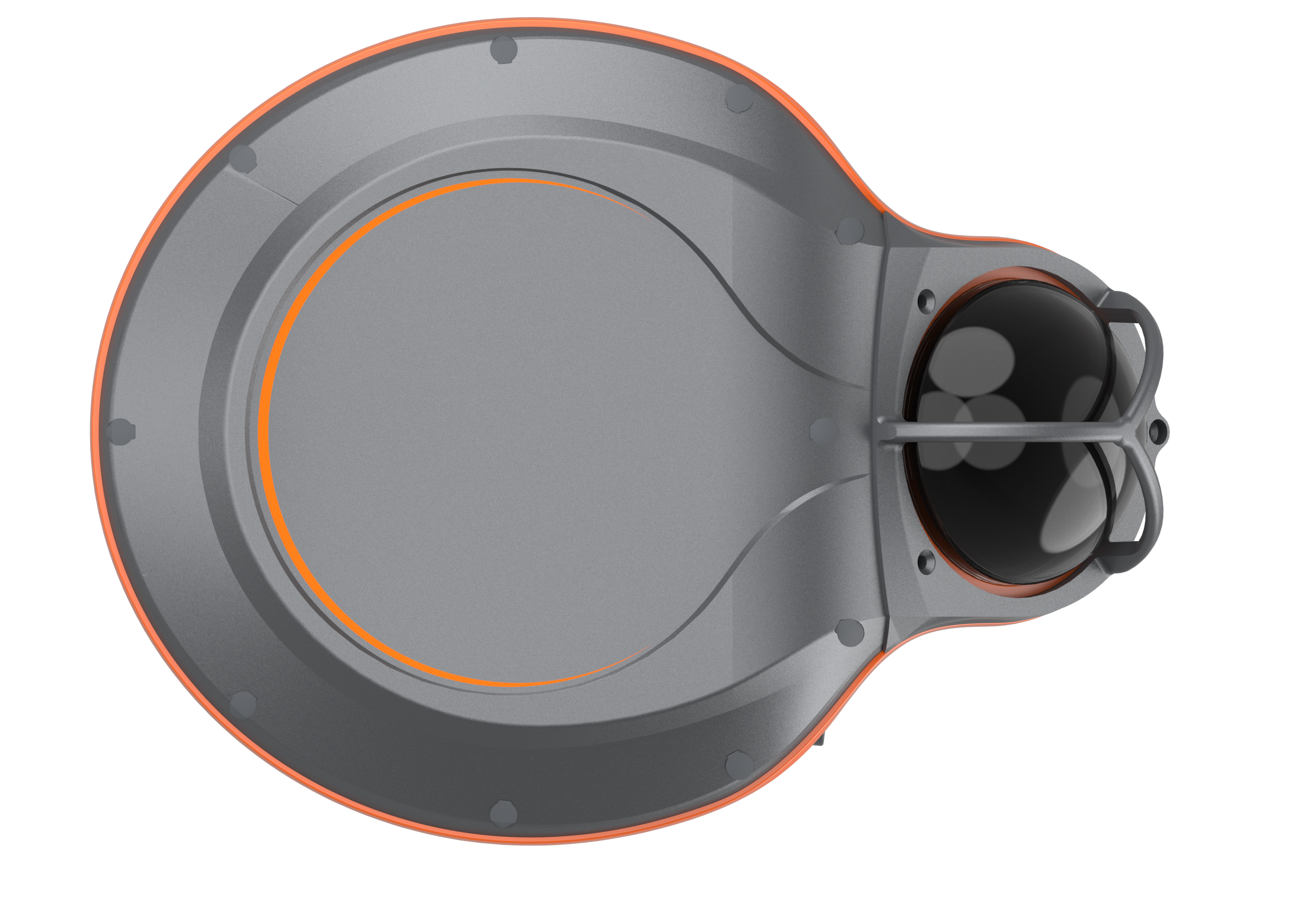
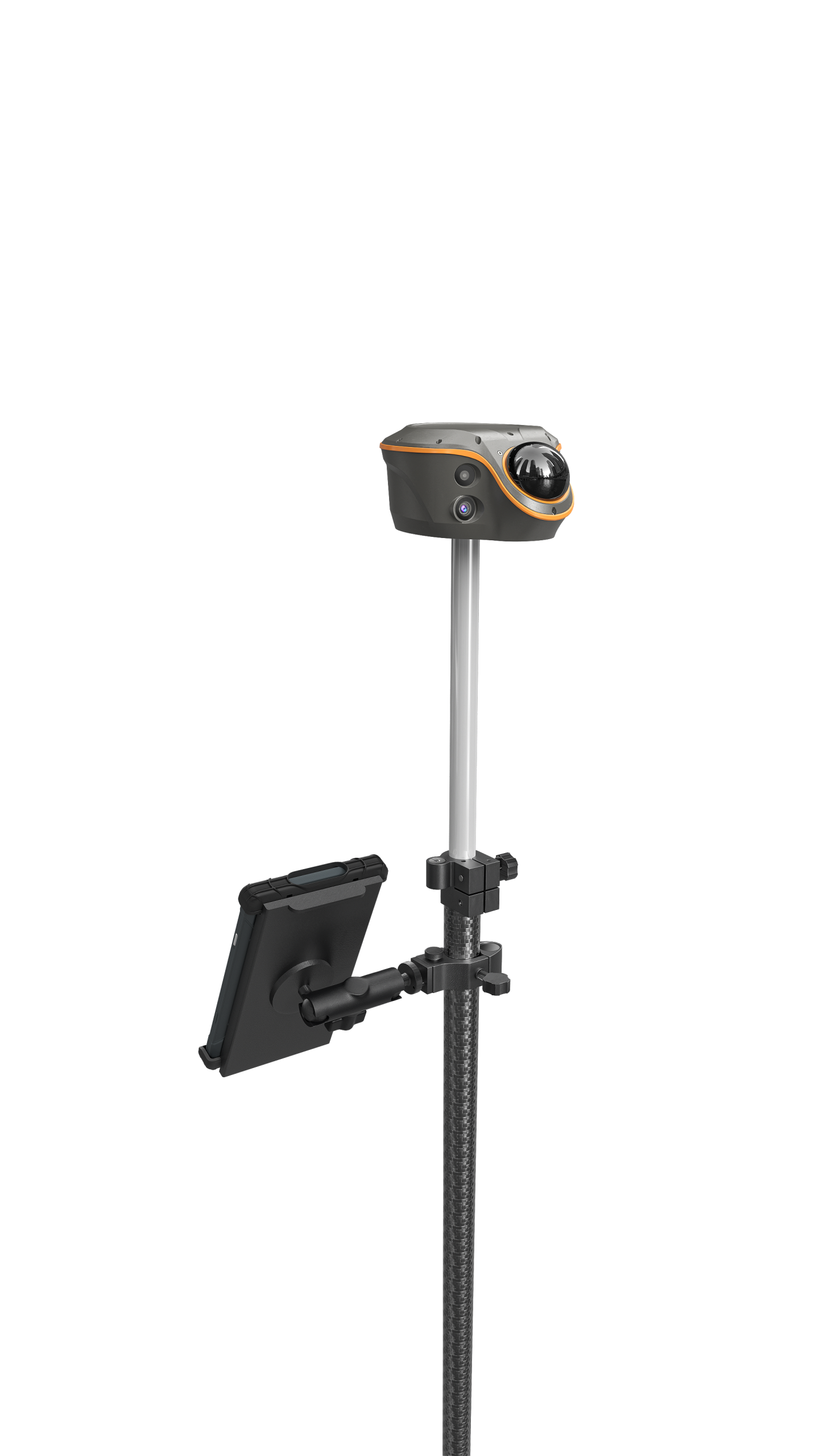
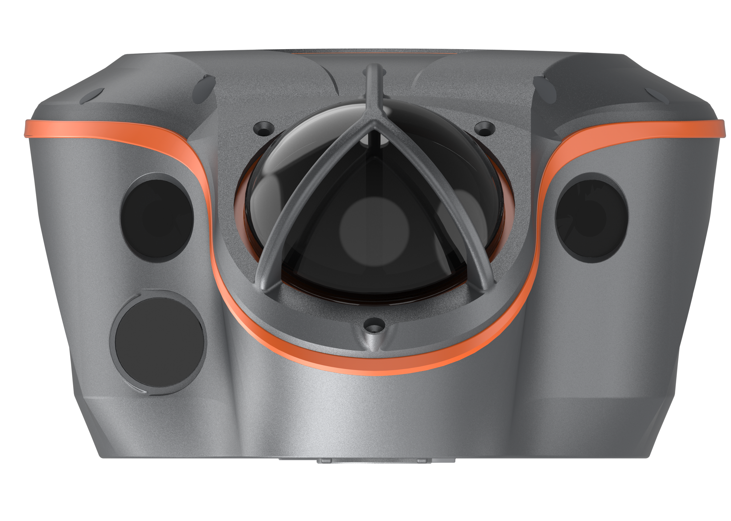
Visual-LiDAR GNSS RTK receiver for reliable, centimetre-level accuracy in obstructed environments.
Combining next-gen satellite filtering, SLAM positioning, and integrated LiDAR, the ViLi i100 lets you survey confidently in places where traditional GNSS falls short—ideal for construction, mining, forestry, and utility mapping across Australia.
Orders Over $500
For every purchased
A next-generation GNSS RTK receiver that fuses satellite signals, LiDAR scanning, and visual positioning to deliver consistent 5 cm accuracy in challenging environments — from dense urban corridors to forest canopies.
Precision meets resilience. Built for the toughest field conditions.

Obstructed Accuracy: 5cm
Reliable centimetre-level positioning near buildings, under tree canopy, and in narrow alleys.

SFix 2.0 Engine
Up to 860,000 points per second.

Vi-LiDAR Contactless Survey
Capture a photo once and batch-extract multiple 3D coordinates

3D Earthwork Calculation
Real-time cut and fill volume results on site with 99.98% accuracy.

Four Cameras + AR Stakeout
Dual cameras enable CAD and AR visual stakeout, increasing layout efficiency by up to 50%.

Full GNSS + Multi-Mode
Supports CORS, UHF base-rover, and PPP modes for flexible deployment in any workflow.
Workflows are getting lighter—but expectations haven’t changed.
With the right tools, capturing high-quality 3D data can be fast, simple, and accessible—without compromising accuracy.
No more dealing with:
Impact: Unstable fixes, position jumps, and rework.
With ViLi i100: Advanced satellite filtering eliminates reflected signals. Once fixed, it stays fixed.
Impact: Switching equipment slows down every job and adds cost.
With ViLi i100: SFix 2.0 extends GNSS coverage into denied areas — no total station swap needed.
Impact: Time-consuming, error-prone, and often requires a second visit.
With ViLi i100: Scan a stockpile, set the boundary, and receive instant 3D earthwork volumes — contactless and accurate.
AR stakeout and GNSS-obstructed surveying on dense urban sites.
Real-time volume calculations for stockpile management.
Under-canopy surveying with consistent accuracy
Contactless measurement of hard-to-reach infrastructure points.
Choosing the right GNSS equipment is a significant decision. Book a quick 15-minute Discovery Call to discuss your technical specs, budget, and delivery timelines with our Australian-based team.